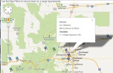
So, I know the local roads with low overhead clearances, old covered bridges, stone RR trestles and parkways. What I need is trip planning software or hardware (GPS) that lets me avoid these obstacles on the open road. Google Maps has nothing, Mapquest not so much, my ancient Garmon had some "commercial" rte options, but I can't get batteries or new maps for it anymore. Any suggestions. I don't want a 20 lb atlas.
Thanks
Harvey (pronounced RV)
Thanks
Harvey (pronounced RV)

